

The Wisconsin Geological and Natural History Survey (WGNHS) has been serving Wisconsin for over 125 years. Part of the Division of Extension at the University of Wisconsin–Madison, WGNHS provides objective scientific information about the geology, mineral resources, and water resources of Wisconsin. We conduct research, map Wisconsin’s geology, and share information through our publications and outreach.
WGNHS News
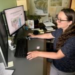
Beyond Alt Text: Exploring innovative methods to advance the accessibility of geologic maps
Mel Reusche, WGNHS Communications and outreach specialist speaking with WGNHS Cartographer and GIS Specialist Caroline Rose Over the last two years, WGNHS cartographer Caroline Rose has explored ways to make spatial data—like geologic maps—accessible and …
June 30, 2026
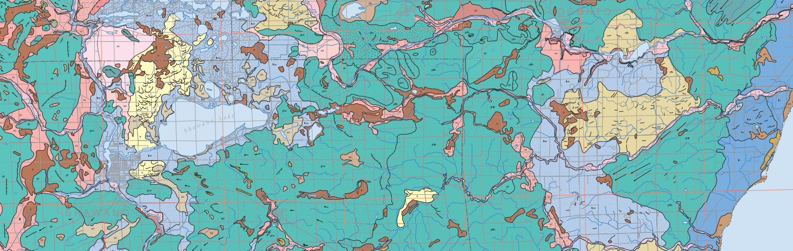
2025 Year in Review
Director’s message In the last year, WGNHS published new and updated maps from some of Wisconsin’s most famous geologic regions, including the Baraboo Range and the Driftless Area. We also published the first statewide bedrock topography compilation in over 50 …
April 14, 2026
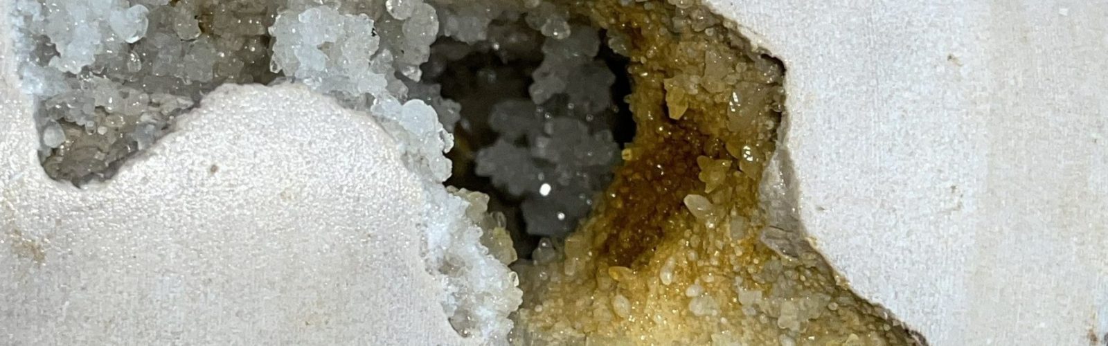
Building Up Baraboo: A New Geologic Map of the Baraboo Hills
Mel Reusche, WGNHS Communications and outreach specialist Devil’s Lake State Park is one of many geologic marvels dotted around the oval-shaped footprint of the Baraboo Range that are explored by millions of visitors each year. …
October 13, 2025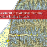
The Economics of State Geological Surveys
August 22, 2025 Mel Reusche, WGNHS Communications and Outreach Specialist How do we measure the impact of a map? A new study concludes that by investing in state geological surveys, we invest in our future. …
August 22, 2025- More
Hot off the WGNHS press
Hydrogeologic Atlas of Burnett County, Wisconsin
January 27, 2026Wisconsin Bedrock Topography, 100-Meter Resolution
January 27, 2026- More
The University of Wisconsin–Madison Division of Extension provides equal opportunities in employment and programming in compliance with state and federal law.