WGNHS has been producing geologic maps, scientific reports, and more for over 125 years. Our publications catalog offers thousands of maps, reports, datasets, and other publications—all of which are available to view and download for free.
Scroll down for a sampling of what you can find in our catalog. Click the links below to search our publications database for maps by subject area.
Want to print a map to scale? Once you have downloaded the publication, you can print to scale at any local print shop with a large-format printer, also called a plotter.
Don’t see the type of map you’re looking for? Try the “view all maps” link and refine your search from there.
Scroll down for common publication types!
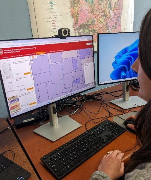
The Mapping Status Portal
Not sure what you are looking for? Use this interactive tool to search publications by area.


Other Publications
These are only a few of the different types of publications we’ve produced—browse our entire catalog to see the rest!


Hot off the WGNHS press
Generalized Map of the Quaternary Geology of Wisconsin
October 16, 2026Updated version of Depth to Silurian Bedrock in Eastern Wisconsin
September 30, 2026Bedrock Geology of Lafayette County, Wisconsin
September 30, 2026Elevation Rasters of Geologic Contacts, Southwest Wisconsin
August 18, 2026- More