June 30th, 2025
Mel Reusche, WGNHS Communications and Outreach Specialist speaking with WGNHS Hydrogeologist Amy Wiersma
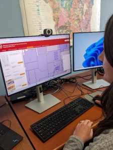
Have you ever wondered what WGNHS maps are available for a specific area of Wisconsin? The WGNHS Mapping Status Portal is a new tool available to help you find the maps you’re looking for.
The WGNHS Mapping Status Portal was created by Hydrogeologist Amy Wiersma, GIS Specialist Matthew Rehwald, and Assistant Director for Technical Operations Peter Schoephoester. Today, we are speaking with Amy about this new tool for accessing WGNHS resources!
Amy, tell us a bit about your position at the WGNHS.
I am a hydrogeologist at the WGNHS. My position was established by the Wisconsin State Legislature in 2021 and has three areas of focus: 1) developing groundwater information and maps at the local and county-scale, 2) increasing the accessibility of WGNHS data and maps relevant to groundwater, and 3) educating users to help them understand and use all this information.
So, the new portal responds to the charge to make WGNHS materials more accessible. Who can benefit from this new tool?
The WGNHS has published hundreds of maps and other resources that are critical to the work of local and county conservation and land use planners, state agencies, and researchers, and also help to inform the public. However, it can be overwhelming to navigate the long list of publications that appear in our Publications Catalog. We want them to be findable, and we think the new map-based interface will help!
With funding from UW-Madison Division of Extension, we have created this interactive tool to access a curated list of WGNHS maps available in any part of the state. It also communicates in-progress mapping projects, which is information we haven’t presented in the past.
How does it work and where can we find it?
When users navigate to the portal, it shows the areas included in WGNHS maps and indicates their mapping status (complete or in progress). There are five tabs, one for each map type: Bedrock geology, surficial geology, water table, bedrock topography, and other groundwater maps. The portal allows you to filter by mapping scale (local or quadrangle, county, regional, and statewide), map status (complete or in progress), and GIS data availability. When you click or select an area of interest on the map, it shows the maps for that area with direct links to view and download the map and accompanying data from our Publications Catalog. We have also created video tutorials to guide a new user through the functions of the Mapping Status Portal.
Visit the Mapping Status Portal today!
Comments and suggestions for this tool are welcome by emailing data@wgnhs.wisc.edu.