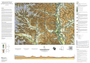
The 1:24,000-scale geologic map of the Weston and Menomonie South quadrangles is part of a larger project to map all of Dunn County. Prior mapping work in the area was regional in extent (1:250,000-scale), so this geologic map and the planned county-wide map will provide more detail to support and improve natural resource management, from groundwater planning to an understanding of non-metallic aggregate sources.